VANCOUVER â Weather alerts blanket most of British Columbia, Yukon and a large portion of Alberta as a bitterly cold system sweeps across those regions and another round of snow threatens southern sa¹úŒÊŽ«Ãœ
Environment sa¹úŒÊŽ«Ãœ says the unseasonably cold temperatures will bring wind chill values in parts of sa¹úŒÊŽ«Ãœ and Alberta to near or below â 40 C, while it could feel as cold as -54 C overnight in northern Yukon.
The weather office predicts frigid conditions are expected to last for much of the week.
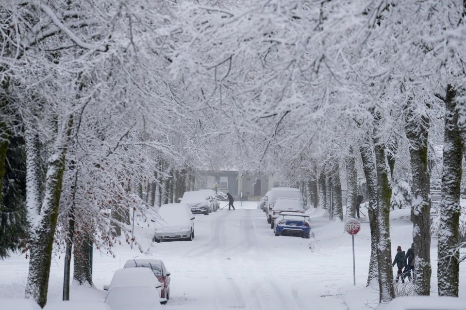
Southern sa¹úŒÊŽ«Ãœ, is still recovering from a Sunday snowfall that dumped anywhere from five to 30 centimetres across the Lower Mainland, leaving many key roads and bridges slick and ice covered.
Additional snowfall warnings now blanket Vancouver Island, the inner south coast including Metro Vancouver and southern Okanagan.
A further 10 to 15 centimetres is expected by early Tuesday, with even more forecast for mountain passes east of Vancouver and on the Malahat Highway north of Victoria.
This report by The Canadian Press was first published Dec. 19, 2022.
The Canadian Press


